Hilton's Offshore Atlases are chart books that feature the same areas as the corresponding charts, except that we carve the charts up into 20 minute x 20 minute "high-definition" charts! Using the Index located at the front, choose the area that you want to examine, turn to that page, and there will be a chart on the right side, and the corresponding GPS coordinates on the left page. You can write on the pages to customize each chart by placing your own secret spots, marking where/when notable fish are caught, and other valuable information to help you catch more fish!
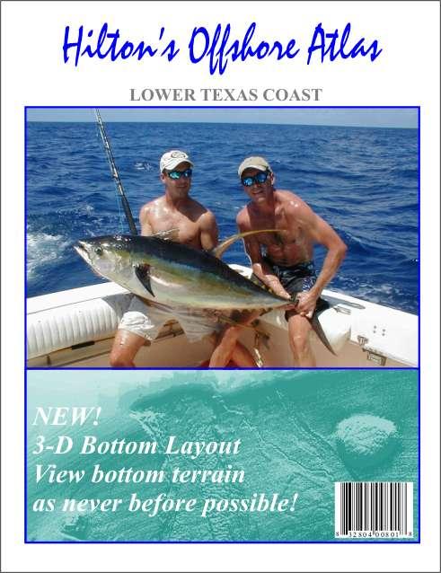
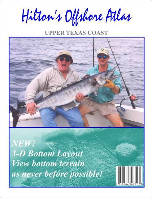
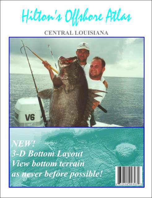
CLICK ON THE COVERS BELOW FOR MORE INFORMATION
____All contents of this website are copyrighted by Hilton's Fishing Charts, L.L.C. and may not be reproduced without written permission. Updated daily! ____
This site best viewed with Internet Explorer. _